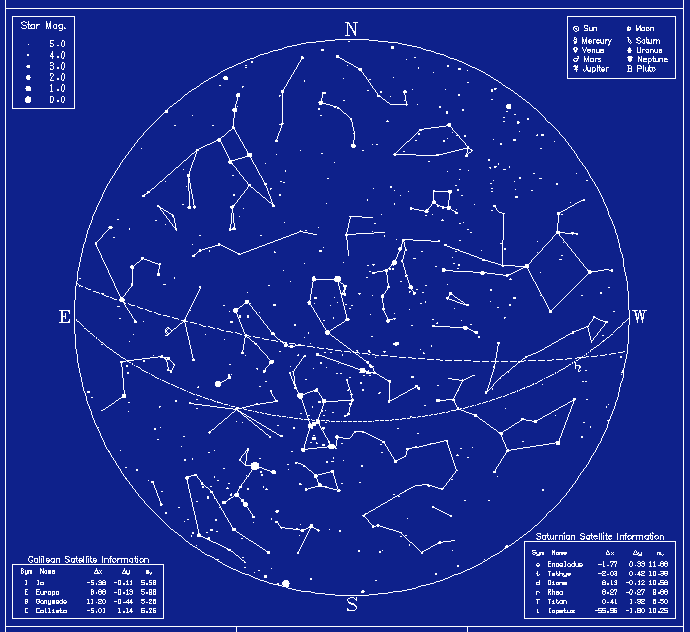
 Star map for winter evening in the Northern hemisphere |
Locating stars and constellations on the celestial sphere is facilitated by a star map. The following map is an example of a star map of the northern hemisphere sky for a winter evening (click on the map for a larger version with labeling for the constellations).
 Star map for winter evening in the Northern hemisphere |
This star map was produced by the Star Maps on demand service of Mount Wilson Observatory. Another source of star maps is the Starry Night program for Windows and Macintosh computers. Here is an online map that shows the position on the celestial sphere of the Sun, Moon, and planets for arbitrary time, date, latitude, and longitude of the observer. (The map is a circle, which you should imagine holding over your head with directions properly aligned to simulate the celestial sphere.)
To use star maps effectively, you need to know your latitude and longitude on the surface of the Earth, and the offset of your timezone from the Greenwich meridian. Here is a link to the Census Gazeteer, which will return latitude & longitude of locations in U.S. specified by either name or zip code (and also links to online U.S. maps). Likewise, here is a link to information about timekeeping and timezones.